Are Men Twice as Likely to Speed as Women?
November 13, 2014Safer Roads Berkshire Receives Royal Recognition
November 24, 2014
Where do Britain’s Most Dangerous Drivers Live?
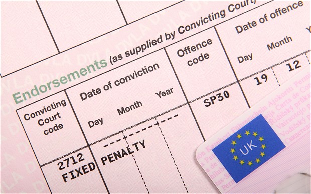
Today [Brake published new figures] obtained from the DVLA to highlight ‘the extent of ‘careless driving’ and speeding offences across the UK’. The information from 2013 showed the Postcode District e.g. OX17, in which the offending driver lived with the table simply ordered by highest-lowest to find the ‘Top 10’.
This ‘analysis’ shows why postcodes are very poor areas of geography for study, and also why you need to take into account population when comparing performance.

Great Britain has nearly 3,000 postcode districts and they vary greatly in terms of population. Some of the smallest such as PA68 (part of the Isle of Mull) has a population of 12 people. Others like CR0 (Croydon) have over 150,000 people living in them. With an average value of around 22,000 you can see there is a very large spread and comparing the raw numbers (offending drivers) between these areas is meaningless.
We have used the population data taken from the MAST system and worked out an offender rate using the Brake data. Although we are still stuck with the unsuitable postcode area geography, it does allow us to look a little closer at the real situation.
As you can see, all of the postcodes have large populations, well above the average figure for any postcode area. We have put in the offending rate per 1,000 population (aged 18 and over) per year for 2013.
The national average is 19.04 offences per 1,000 per year so the two Leicester postcodes in Brake’s list are actually below average.
Brake’s Top 10 looked as follows:
| Postcode | Population (>18) | Offences | Offence rate per 1,000 people |
|---|---|---|---|
| SL6 | 61,592 | 1,847 | 30.0 |
| NG5 | 69,330 | 1,543 | 22.3 |
| SL1 | 53,874 | 1,537 | 28.5 |
| ST5 | 67,336 | 1,516 | 22.5 |
| BH23 | 44,057 | 1,503 | 34.1 |
| LE2 | 94,153 | 1,459 | 15.5 |
| NG16 | 52,077 | 1,411 | 27.1 |
| NE3 | 42,181 | 1,371 | 32.5 |
| LE3 | 78,838 | 1,341 | 17.0 |
| KY11 | 47,256 | 1,331 | 28.2 |
Our Top 10 would be as follows (we have excluded postcodes with a population of less than 1,000 people):
| Postcode | Population (>18) | Offences | Offence rate per 1,000 people |
|---|---|---|---|
| OX49 | 3,361 | 202 | 60.1 |
| WR6 | 9,930 | 585 | 58.9 |
| NE41 | 1,680 | 98 | 58.3 |
| SL0 | 8,842 | 509 | 57.6 |
| B96 | 4,165 | 233 | 55.9 |
| SA3 | 21,773 | 1,166 | 53.6 |
| RM19 | 4,925 | 256 | 52.0 |
| RG9 | 18,431 | 943 | 51.2 |
| ST12 | 3,016 | 151 | 50.1 |
| NE20 | 9,600 | 475 | 49.5 |
OX49, [Watlington], appears to contain the worst offenders in the country, although the numbers are still quite small making them more subject to random variance. The rate is almost three times higher than the national average though so perhaps something is happening in South Oxfordshire?
Of course, using population still isn’t the best denominator available; the number of license holders would be more suitable. The best measure would be average miles driven per head of population – something we do include in MAST, although only at local authority district level.
Once again we make a plea to anyone publishing comparative data: Always use a suitable geography and select a sensible denominator where possible.